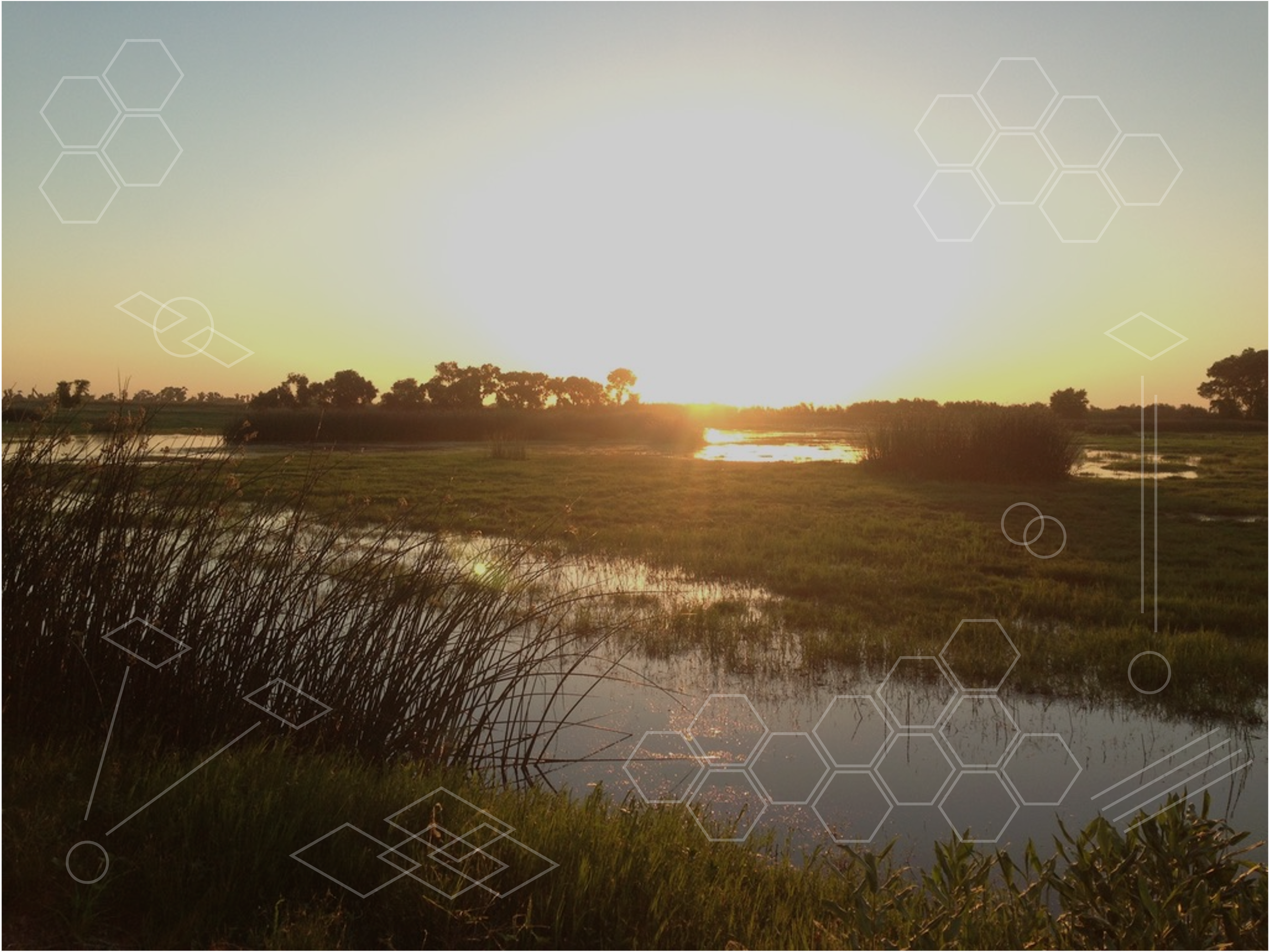
Dive below the surface with actionable insights
Through remote sensing, spatial analysis, and analytics, we turn complex environmental data into actionable insights giving decision-makers the clarity to act with confidence and speed.
Aythya Analytics, named after the genus of diving ducks, reflects our approach: going beneath the surface to uncover insights others might miss. We bring water, wildlife, and environmental data together to provide decision-makers with clarity they can act on.
Aythya Analytics was co-founded by Austen Lorenz, an environmental data scientist and geographer with nearly a decade at the U.S. Geological Survey. Austen co-led the development of AIMS for Wildlife, an automated tracking and reporting system built on one of the largest wildlife GPS dataset in the world. This work was recognized for geospatial innovation and produced numerous national conference presentations and peer-reviewed publications.
Building on this experience, Aythya Analytics transforms complex datasets into practical dashboards, reports, and scientific products. Our mission is to help communities, agencies, and land managers make confident, science-driven decisions for a more resilient world.
What we do
Data Development
Collecting environmental data through remote sensing and digitization to create a strong scientific foundation.
Data Aggregation
Combining your existing information with external sources to generate a holistic understanding and reveal meaningful patterns.
Data Analysis
Transforming raw data into answers to your key questions using spatial analysis, modeling, and advanced analytics.
Data Delivery
Turning insights into easy-to-use dashboards, reports, and scientific products making information accessible, operationally relevant, and ready for real-time decision-making.
Why Choose Us
Clarity. Credibility. Confidence.
We know environmental data can be complex and our job is to make it clear, usable, and actionable. Here’s what sets Aythya Analytics apart:
Scientific Expertise
Founded by a USGS geographer and environmental data scientist with a strong record of peer-reviewed research, innovation, and stakeholder collaboration.End-to-End Service
From collection to analysis to visualization, we provide complete data science support tailored to your needs.Actionable Tools
Dashboards, reports, and visualizations designed to translate complexity into insights you can use immediately.Time Savings
Automated workflows and streamlined delivery save decision-makers valuable time and resources.Resilience Focused
Our mission is to empower land, water, and wildlife managers with science-driven decisions for a more sustainable and resilient future.
Let’s work together
We’re ready to help you turn environmental data into clarity and impact.

